
Aerial Mapping
1.00 Dollar US$
November 18, 2026
United States, New York, New York City
Aeroyantra0@gmail.com
5
Description
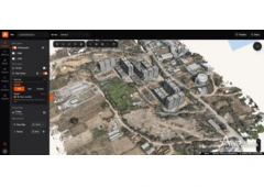
Unlock new perspectives for your projects with our aerial mapping services! Our cutting-edge technology provides high-resolution maps and imagery that cater to industries like construction, agriculture, and real estate. Whether you need precise topographic data or detailed property audits, our skilled team ensures accurate and timely deliverables. Experience the advantages of aerial mapping, including enhanced planning and analysis.








Free
November 18, 2026
Useful information
- Avoid scams by acting locally or paying with PayPal
- Never pay with Western Union, Moneygram or other anonymous payment services
- Don't buy or sell outside of your country. Don't accept cashier cheques from outside your country
- This site is never involved in any transaction, and does not handle payments, shipping, guarantee transactions, provide escrow services, or offer "buyer protection" or "seller certification"